
Major Hurricane Beryl Update for June 30th
Beryl has become the strongest June hurricane in history as it streaks towards the Windward Islands.
This post is outdated. Click here to read our new forecast as of 5 p.m. Friday.
Florida tropical threat synopsis: Category 4 Hurricane Beryl presents no risk to Florida, but is a major threat to the Windward Islands and elsewhere in the Caribbean. Interests on the western Gulf Coast should monitor the situation.
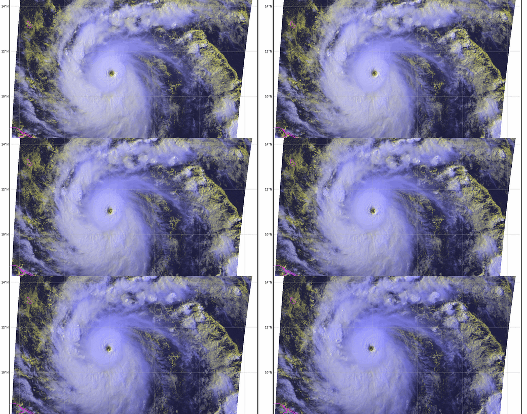
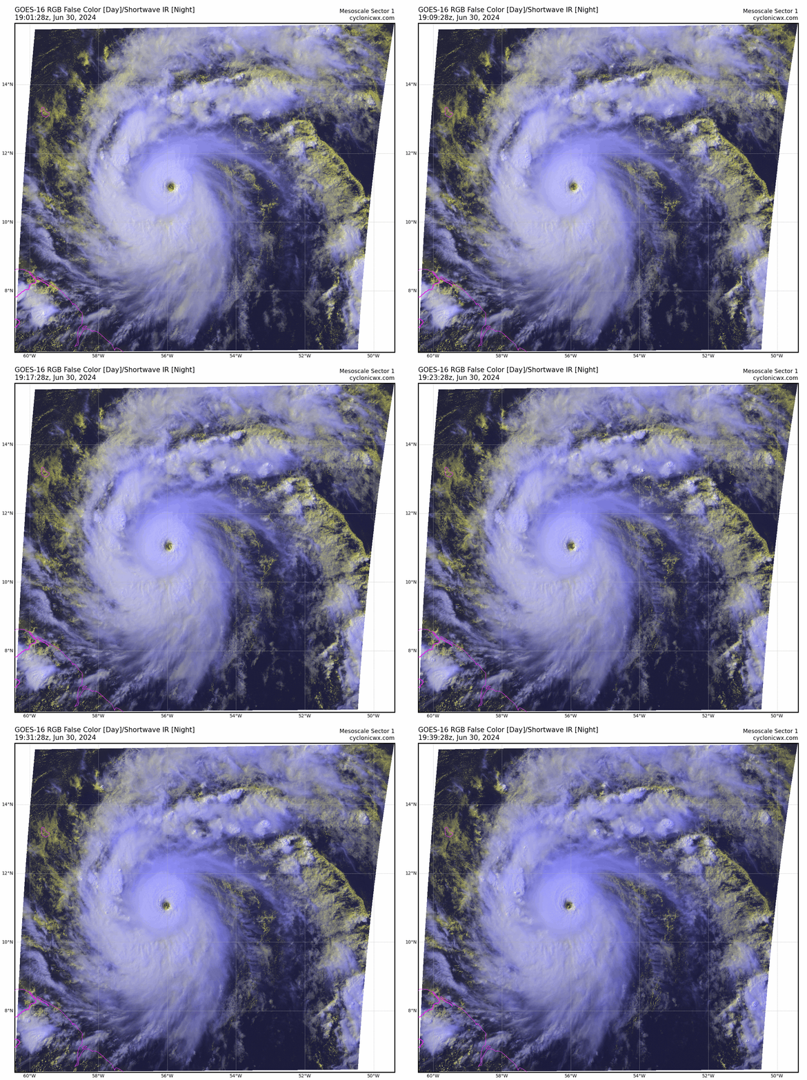
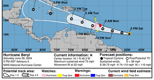
Discussion: I’ll have a update on the full spate of Atlantic tropical activity tomorrow morning, but need to bring you up to speed on developments with Beryl since Friday’s update as they are truly unprecedented in the annals of hurricane history. As of the 2 p.m. Sunday NHC advisory, Beryl is a Category 4 hurricane with maximum sustained winds of 130 mph. It is about 400 miles east-southeast of St. Vincent in the Windward Islands, moving west at about 20 mph. Beryl is exceptional for many reasons, and I’ll account for more of the many records it has shredded tomorrow. In the meantime, know that Beryl is the only Category 4 hurricane ever in June in the Atlantic Basin.
Embedded in a pristine environment and looking immaculate on visible imagery, Beryl may intensify a bit more over the next 12-24 hours, and is likely to cross the Windward Islands at Category 4 intensity tomorrow morning. Grenada and St. Vincent and the Grenadines are likely to experience the worst that Beryl has to offer, and preps for the worst hurricane hit there since Allen in 1980 should be rushed to completion. Beryl remains small, so the Leeward Islands and Puerto Rico will still see modest, fringe impacts, mainly occasional bands of showers tomorrow and Tuesday.

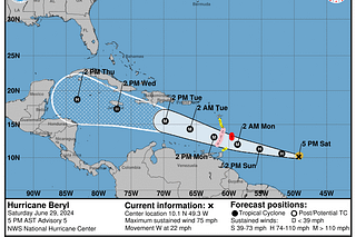
The longer range forecast has not changed all that much in the last couple of days, with the NHC tracks edging a little faster and farther south with time. By Tuesday, Beryl will likely be weakening as mid-level shear increases, though weakening from a high plateau means it should remain a hurricane as it moves west-northwest through the Caribbean. Beryl will likely pass south of Jamaica on Wednesday, likely far enough south to avoid major land interaction and the worst impacts on the island, but certainly close enough to continue to monitor carefully.
Beryl’s track is likely to bend back west on Thursday and Friday as it crosses under U.S. Gulf Coast ridging, and the hurricane is expected to reach the Yucatan peninsula on Friday. Beryl may or may not have gained enough latitude to eventually track into the southwestern Gulf of Mexico next weekend. At this point, I would say eventual U.S. impacts from Beryl are quite unlikely, though not totally impossible. If the western flank of the Gulf Coast ridging weakens a little faster than most models suggest in 6-7 days, that might put the Texas coastline in play down the road. But Mexico (and Belize) are far more likely to take the brunt of Beryl’s western Caribbean and potentially Gulf landfalls. Florida remains totally in the clear from this one.
Overall, just a wild, wild thing to watch. I’ll be back tomorrow morning with a complete update on the Tropics.





Thanks! The weather channel had a spaghetti chart pic that showed one lone strand hitting close to the top of Northwest Florida (and parts of Alabama and Louisiana). Any idea why? As always, I am thankful for your coverage!
Doc. I’m certain we will test and expose model predictions and paths ad nauseum this season.