Tropical Update Note for Sept. 29th
Keeping tabs on another possible round of tropical weather in the Caribbean and Gulf.
This short update has been sent to all subscribers. You may share it freely.
Well, it happened again.
I hope wherever this update finds you, you are safe and your recovery process is getting started following Helene, a storm that stands with any of the worst hurricane disasters in U.S. history. The scope of the destruction, particularly in two places dear to my heart, the Big Bend and western North Carolina, is immense and difficult to comprehend, even as my home of Tallahassee has—again—escaped the very worst of a major hurricane by a hair’s breadth. At some point, I’m going to write something to try to put Helene into its proper meteorological and historical context. To be honest, I simply can’t do it right now. I need time and space.
However, I do want to weigh in briefly on something more pressing: the potential for another round of tropical development in the Caribbean and Gulf in the next week. I've been monitoring this possibility for a few days but haven't said anything, simply because I didn't want to unnecessarily alarm the already traumatized with something that had a low probability of happening.
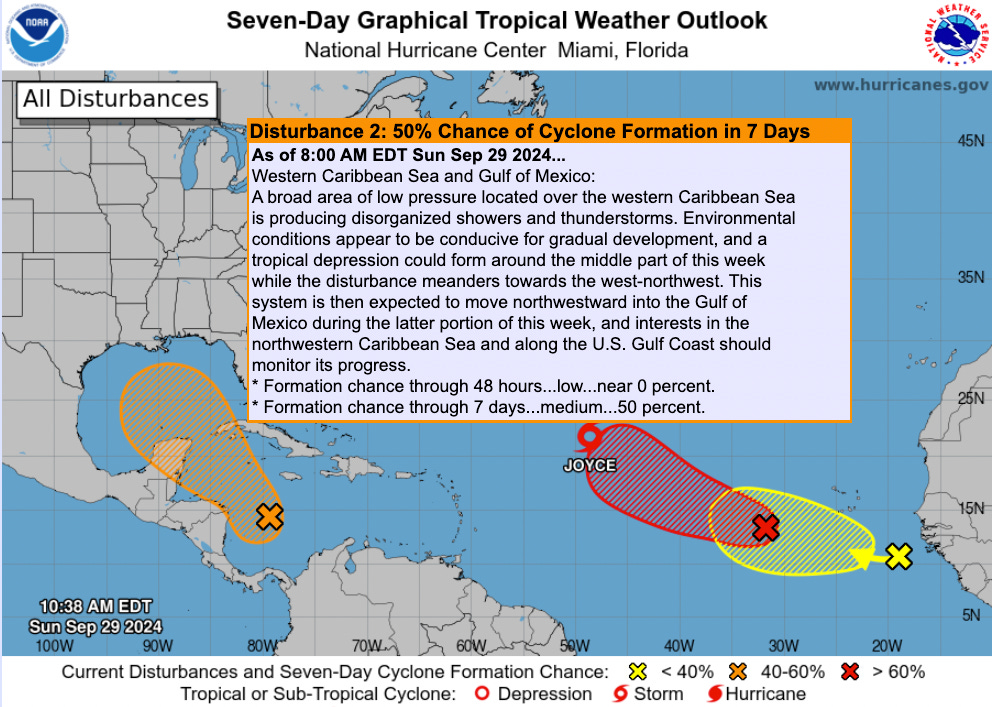
Unfortunately, that potential is sufficiently realistic at this point that it's something you should be aware of along the U.S. Gulf Coast. The 8 a.m. Sunday Tropical Weather Outlook from the NHC has a 50% chance of development between Tuesday and next weekend. This risk is not associated with Hurricane Isaac or Tropical Storm Joyce, which have developed in the last few days but are not threats to land.
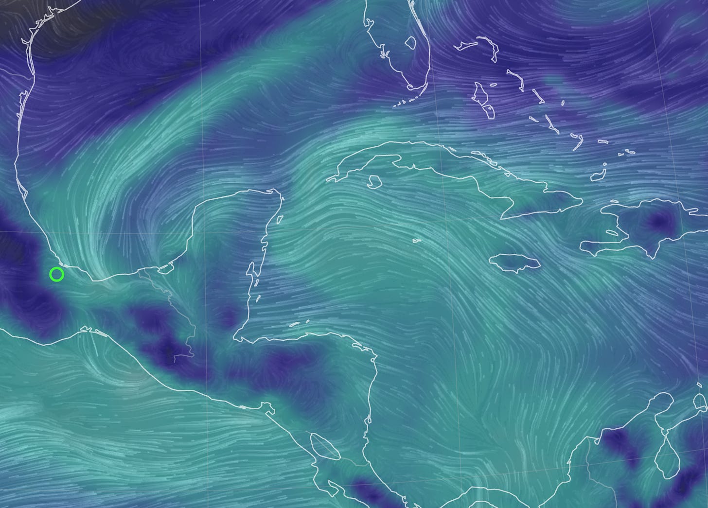
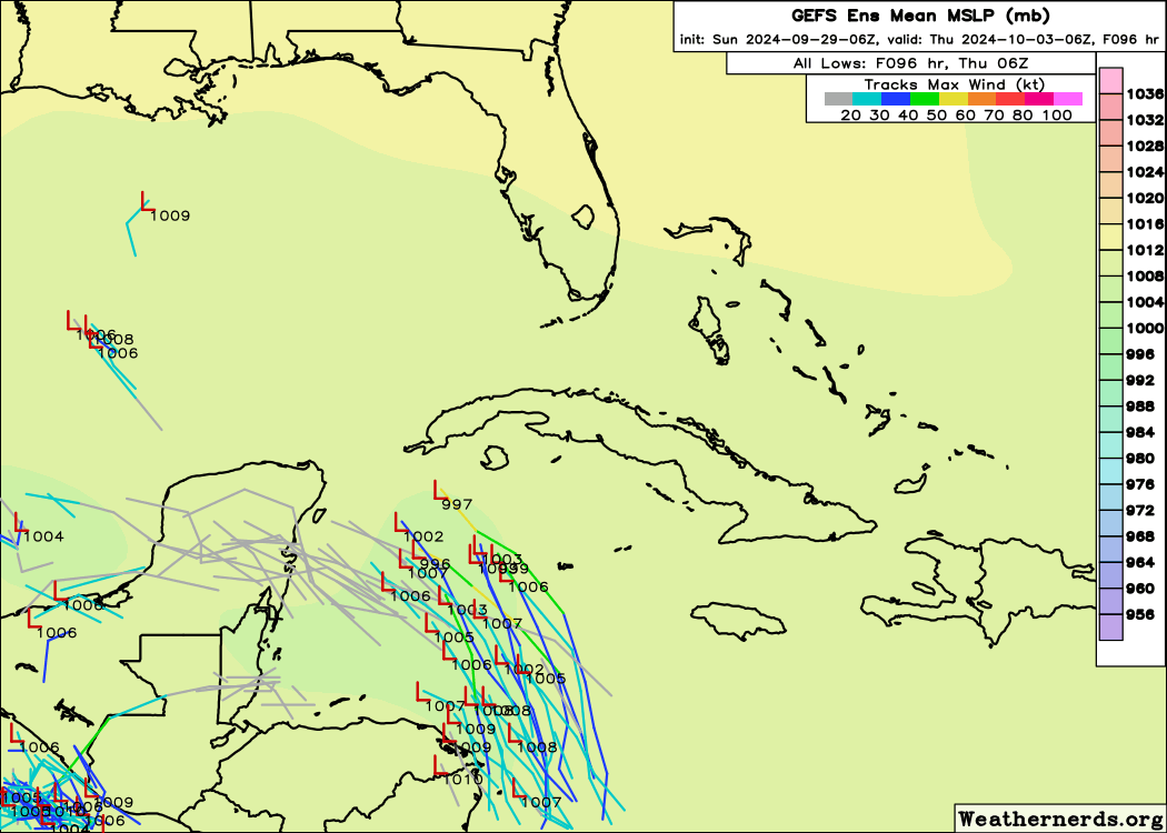
The culprit is once again the dreaded Central American Gyre (CAG), which is in the process of redeveloping now after Helene mostly rolled up the original CAG circulation on its way north. (This is why the hurricane was so absurdly large.) Once the CAG re-establishes itself in the next few days, convection originating near Panama may be flung north around the broader circulation into the northwestern Caribbean. By the middle or end of next week, this system too may take advantage of a still-favorable upper-level environment and organize into a tropical storm. The models that did better in predicting the development of Helene via a similar mechanism are more bullish on this possibility.
At this range and without an actual disturbance to watch, I’d simply say that it’s perhaps a little more likely than not something eventually develops in the Caribbean in the next 4 to 8 days, though not a certainty. That is of course concerning, as a steering ridge over the western Atlantic would again mean anything that does develop is probably heading northwest into the Gulf by the end of next week.
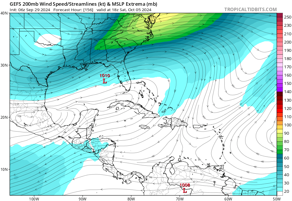
Longer range, the forecast is highly uncertain, as it always is for disturbances that haven’t developed yet. In about a week, most of the reliable global ensemble models show a deep and powerful dip in the jet stream diving into the east-central United States. This would tend to favor anything that forms eventually angling northeast or east-northeast over the eastern Gulf, more sharply than Helene’s north-northeast heading.

On the positive side, that pattern is also one in which we might expect more shear over the northern or eastern Gulf Coast if anything were to approach. Additionally, it doesn’t seem like this potential system would roll up the entire CAG, meaning it would be notably smaller than Helene. Of course, given what we’ve just been through, any size or strength of storm is too large and too strong. As always, don’t put any weight on individual model runs at this range. There is too much uncertainty in where and when an organized center of circulation might form. Just watch and wait.
In summary, a second potential threat to the Gulf Coast is unfortunately plausible in the upcoming week. However, this risk is at the monitoring and possible level right now, not the preparing or likely level. Any potential impacts to the U.S. Gulf Coast are around a week or more away. However, you might wait to put your patio furniture back out and pause the deployment of your 15’ lawn skeletons, werewolves, and Cthuls-hu until the forecast gets a little clearer.
I’ll be keeping a careful eye on the situation in the week ahead, with a daily bulletin for supporters and a mid-week update for all. Keep watching the skies.


On
Ryan on National PBS tonight
Thank you for this! Delighted and relieved to know that you and your family -- and your home -- made it through Helene intact, at least physically. And awed by how you managed to stay online with us through it all. Thank you!!