


The Great Wanda Search: WeatherTiger's Weekly Column for October 7th
October is off to a slow start, but activity may pick up past mid-month.

WeatherTiger’s weekly column is provided free to all subscribers. To get our complete insights, upgrade to premium for as little as $7.99 to get daily forecast briefings, in-depth forecasts, videos, and live landfall coverage during U.S. hurricane risks, expanded seasonal outlooks, and the ability to comment and ask questions. Click below to sign up below now.
Two-sentence threat synopsis: A weak low off the Southeast Coast will not influence Florida’s weather. Any development in the western Caribbean likely remains more than a week away, so look for at least another 7 days without a tropical threat.
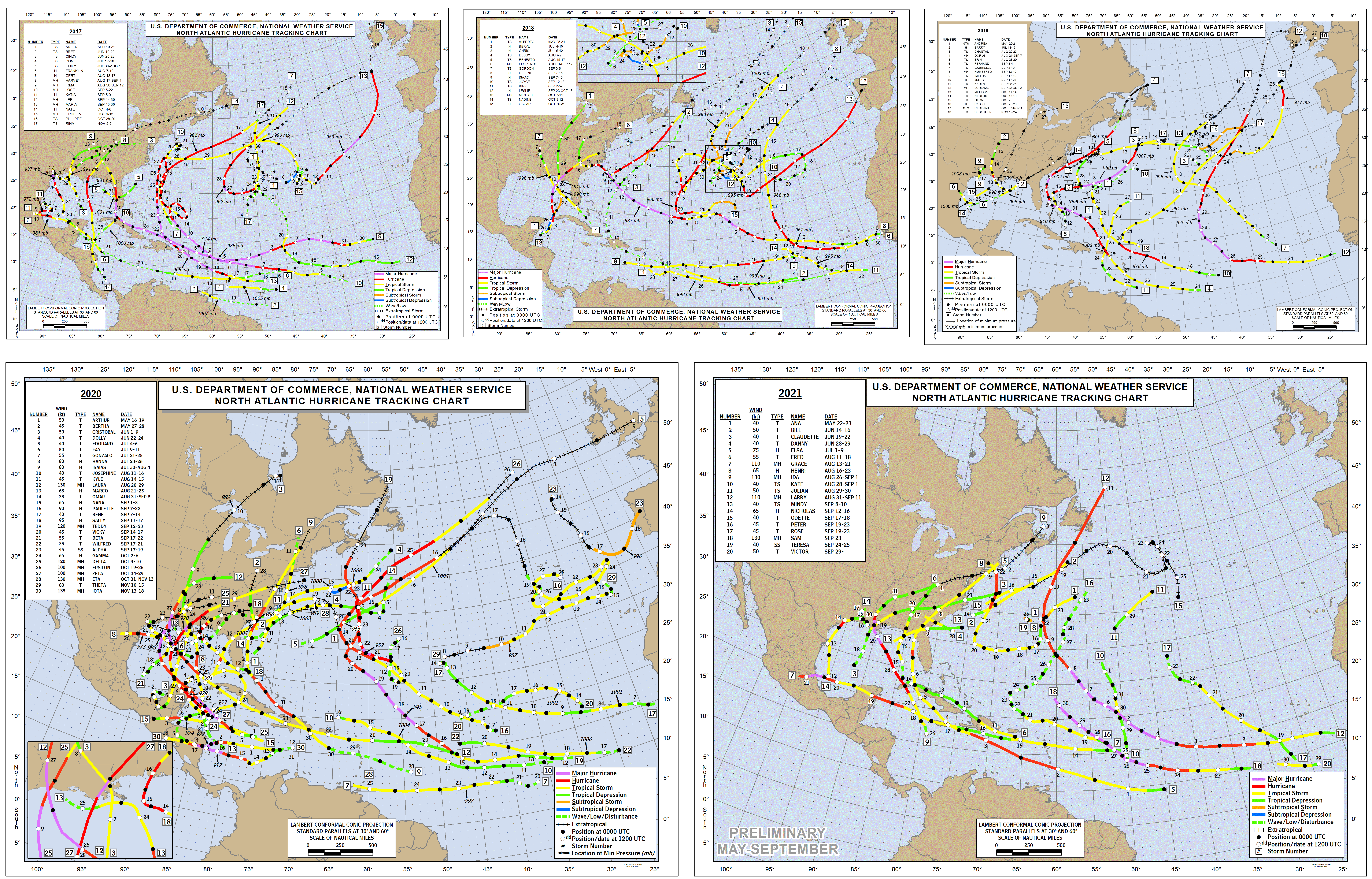
Last week’s otherwise unremarkable Tropical Storm Victor boosted the Atlantic Basin to an unprecedented threshold: one hundred named storms have developed in the past five years, including fifty in just the last seventeen months.
In other words, we need a break. In a nearly as-unprecedented development, this week brought not only a brief respite from social media cacophony, but an extended pause on tropical activity.
Several days ago, Victor and Hurricane Sam brought the eastern Atlantic hurricane season to a close, shuffling north into open waters. Sam was a quietly impressive hurricane, maintaining Category 3 or 4 intensity for eight continuous days of a two-week trek across the open Atlantic.
In fact, Sam’s final tally of accumulated cyclone energy (ACE), a rough measure of total storm strength over time that scales with the square of maximum sustained winds, is seventh on the all-time list of Atlantic hurricanes. Sam’s provisional 53.8 units of ACE trails only heavy hitters like Ivan (70.4) and Irma (64.9), and single-handedly accounts for about 40% of 2021’s net ACE.

Most importantly, Sam is one of just two of the top 10 ACE-producing hurricanes since 1966 to be an open ocean “fish storm.” We love the fishes, because they’re so deliciously non-destructive, while still fulfilling a hurricane’s prime directive to redistribute massive amounts of heat and moisture from the Tropics toward the Poles. Anyway, thanks, Sam, you are this week’s Real Hurricane of Genius. Enjoy your well-earned trip to Iceland, and don’t forget to visit Hallgrímskirkja.
With the Cape Verde season now behind us, the focus for potential storm development in October turns closer to home: the southwestern Atlantic, Gulf, and Caribbean.
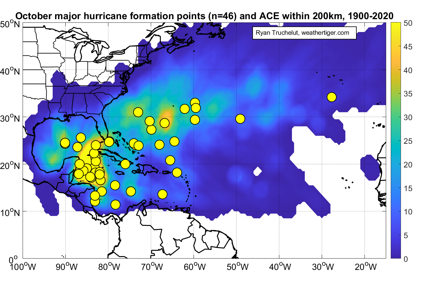
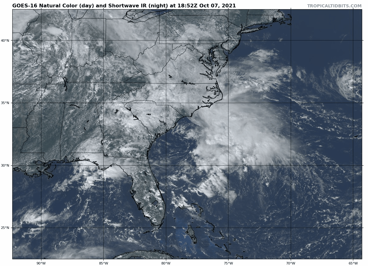
None of these hotspots are busy today. The only current disturbance with a significant chance of organizing in the next five to seven days is a weak area of low pressure east of the Carolinas, Invest 92L. This low is expected to drift north or northeast over the next few days, spreading coastal precip to the mid-Atlantic as it does.
Convection with Invest 92L is looking a little more concentrated today, and it would not be surprising if over the weekend it briefly nabs name #101 since 2017, Wanda. However, with 20 to 30 knots of westerly wind shear firmly in place, only a marginal tropical or subtropical storm would be possible should Wanda take shape. Development or no, look for 92L to meander the vicinity of the Outer Banks for 3 to 4 days while enhancing rain chances, before being booted east by an advancing front early next week.
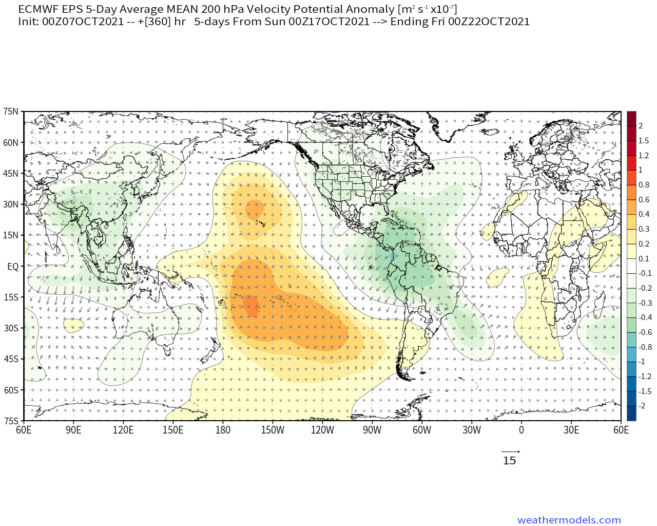
Otherwise, the Atlantic is quiet with no likely candidates for development out there. This is typical of ongoing phases 5 and 6 of the Madden-Julian Oscillation (MJO), a global pattern of winds aloft influencing the location and extent of tropical convection. Ceteris paribus, the suppressed MJO phases, 5 through 7, tend to mean more shear and convergent winds in the upper atmosphere over the western Atlantic, which are unfavorable for storm development.
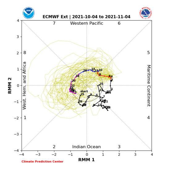
Inconducive upper-level winds are likely to persist in the Gulf, Caribbean, and western Atlantic for around another week, so don’t expect a significant uptick in tropical activity prior to October 15th. However, long-range models are suggesting that the MJO will pivot towards a more favorable phase 1 alignment for the second half of October.
There remains no specific threat to monitor at this time, but I would expect rising chances of tropical activity in or near the western Caribbean in the October 15th through 25th range. Frankly, it would be shocking if nothing developed in the Caribbean in October, given an incipient La Nina, above-average ocean temperatures, and supportive MJO expectations, all of which augur increased odds of late-season activity.
That timing is consistent with the secondary peak in South Florida historical hurricane activity between the second and fourth weeks of October. In North Florida and the northern Gulf Coast, the climatological landfall rate drops off after mid-month. However, Category 3 Hurricane Zeta’s Louisiana landfall on October 28th of last year shows you aren’t completely out of the woods yet there, either. This so-called fall has been damp as a moist towelette, so anything is possible.
In the meantime, the Atlantic Basin should be mostly calm for another week. Depeche Mode would advise that you enjoy the silence, whether arising from a big pot of chili being spilled on Facebook’s servers or a helpful MJO phase. I support that stance while, as ever, reminding you to keep watching the skies.