


We've Got Potential: The Hurricane Watch for June 27th
Potential Tropical Cyclone 2 develops in an unusual location for late June.

Florida tropical threat synopsis: No tropical threats to Florida in the upcoming seven days. A new potential tropical cyclone in the Tropical Atlantic will move west towards Central America this week and is not a threat, though the Gulf and Southeast coast should watch another wave further east, which may angle further north into early July.
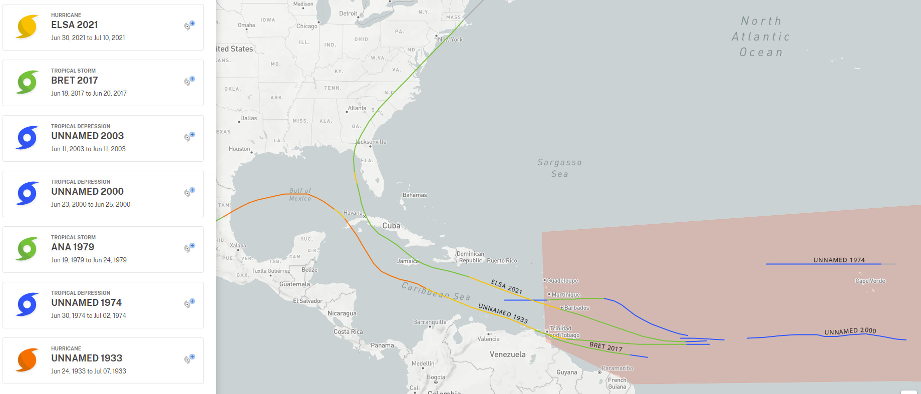
Almanac: It’s Monday, June 27th… day 27 of the 2022 hurricane season, 156 days to go. By total storm energy, the season is 2.2%, 6.5%, and 7% complete for the Atlantic, continental U.S., and Florida, respectively. The fact that the U.S. and Florida are “more done” than the Atlantic as a whole at the end of June is a function of early season storms typically forming closer to land, and thus having better chances of making U.S. landfall. In fact, only seven tropical depressions have ever developed east of the Lesser Antilles in Jun, as seen above.

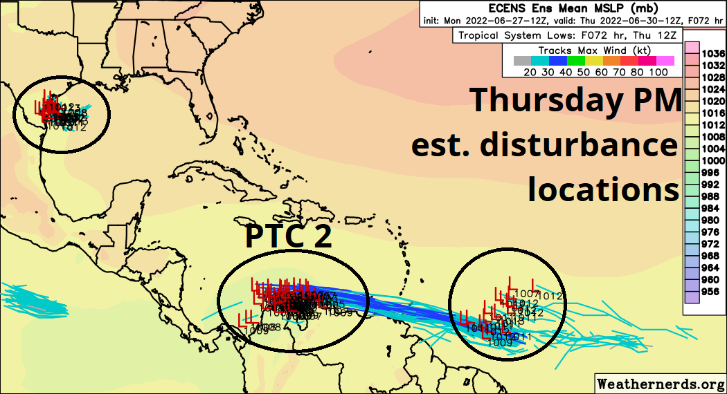
Active Storms: Potential Tropical Cyclone 2 has developed this afternoon from Invest 94L, and is located about 500 miles east of the southern Lesser Antilles. While PTC2 does not yet have a well-defined circulation, sustained winds of 40 mph were observed by Hurricane Hunters this afternoon, and Tropical Storm Warnings are up for the southern islands.
Despite the historical rarity of June development east of the islands, the prognosis for PTC 2 is pretty straightforward. Look for the system to slowly get better organized as it zips westward across the southern Caribbean over the next three days, likely becoming TS Bonnie in that timeframe. As its forward speed slows a bit in the western Caribbean, the storm may intensify a bit quicker. The NHC forecast calls for reaching Category 1 intensity prior to striking Nicaragua early this weekend. Strong ridging to the north will keep PTC 2/Bonnie hustling west into the eastern Pacific, and there will be no impacts on U.S. weather, even indirect ones.

Other Disturbances in NHC outlook, with 2-/5-day NHC development odds:
1. Northern Gulf (0/20%). A disorganized area of convection is located south of Louisiana, which will drift west and should push into Texas around Thursday. Additional organization is not likely, but this system will contribute some needed moisture to the Southern Mississippi Valley in 5-7 days.

2. Eastern Atlantic (0/20%): Amazingly, 94L is not all for the Deep Tropics today. A vigorous wave to 94L's east also has a chance of slow development over the next 4-7 days, and may lift further north towards the Greater Antilles if it develops. However, the environment for this one will not be quite as outstanding as it is for 94L, and higher shear will likely keep a lid on strengthening. With a trough digging into the eastern U.S. in early week 2, an eventual U.S. threat can't be ruled out with this wave. That would be an unlikely outcome with little historical precedent; still, I’ll be keeping an eye on it.
Elsewhere: Nothing to report. The above is plenty.
Next report: Tuesday afternoon.
I am getting my money's Worth plus!
I recommend joining to others.
E Keith Ewing