


WeatherTiger's Tropical Storm Elsa Analysis for July 3rd
Elsa weakens a bit, but significant impacts are still likely for Florida starting Monday.

WeatherTiger’s Hurricane Watch will be issuing daily (or more) forecasts for Elsa for the duration of the threat to Florida. If you enjoy our work and are not already a supporter, please considering signing up for our paid subscription service to receive a daily threat briefing each weekday, or sharing this blog with your friends and family.
Measured good news for Florida: as of Saturday, Elsa has weakened to a tropical storm as it interacts with the mountainous terrain of Hispaniola. While Florida still should carefully watch Elsa and rain impacts will begin in south Florida on Monday, its current disorganization thankfully decreases the chances of a strong hurricane in the eastern Gulf next week.

The National Hurricane Center’s 2 p.m. Saturday advisory has Tropical Storm Elsa just south of Hispaniola, with maximum sustained winds clocked by reconnaissance aircraft around 70 mph. Elsa’s forward motion on a west-northwest heading over the last day has pushed 30 mph, which is near-record speed for a tropical storm or hurricane in the deep Tropics.
Over the last 24 hours, Elsa has finally started acting like a tropical cyclone moving through the eastern Caribbean at 30 mph. Neither of those factors are typically associated with intensification, to put it mildly. As of Saturday afternoon, Elsa’s low-level circulation center is precariously perched on the western edge of deep convection as 20 knots of northeasterly wind shear and brisk low-level steering take a toll on the storm’s structure.
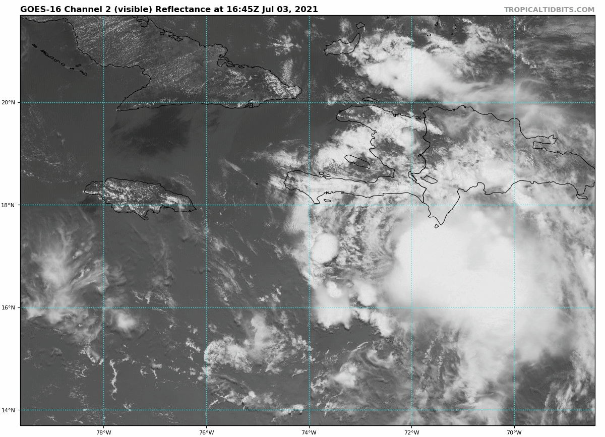
This lickety speed means Elsa’s vortex tilts with altitude, as the mid-level center of rotation lags south and east of the low-level center. A tilted vortex makes the heat engine that powers tropical cyclones run less efficiently; coupled with a track that will likely skirt just south of the tallest mountains of Haiti and eastern Cuba, Elsa will probably struggle to maintain its current intensity into early Sunday.
This is good news, because while Elsa will slow down and could get a little better organized late Sunday, it is unlikely that it will fully “stack” its low- and mid-level circulations on top of each other and form an intense core prior to crossing central Cuba overnight into Monday. While central Cuba is less mountainous than eastern Cuba, land interaction will further disrupt the storm’s circulation, and the system that emerges into the far southeastern Gulf on Monday is likely to be broad.
Broad tropical cyclones need time to redevelop a tight core, even in favorable conditions. As mentioned yesterday, wind shear over the Gulf between Monday and Wednesday will be in the range that might aid a stronger storm, but is somewhat detrimental to a weaker, looser one. While some slow strengthening is expected in the Gulf and there is a chance of Elsa recapturing hurricane status before reaching Florida, the potential for a more intense hurricane in the Gulf has diminished since yesterday.

NHC track forecasts and the consensus of model guidance are for Elsa to turn northwest on Monday and north on Tuesday as it curves around the western end of subtropical ridging. It is too early to know whether Elsa will track up the peninsula itself or move parallel to the Florida Gulf Coast while remaining offshore between late Monday and Wednesday. The official forecast track, and my money, is for Elsa to remain at least a little offshore through early Wednesday.
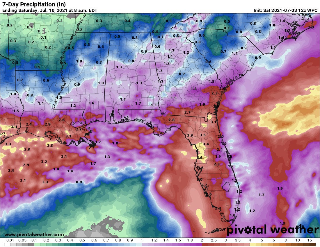
Because Elsa is likely to be lopsided to the east, a track of this nature would mean heavy rainfall for much of the Florida peninsula early next week. Rains will begin in the Keys and South Florida on Monday evening, likely reaching Central Florida sometime on Tuesday and northern Florida by early Wednesday. For the Panhandle and Big Bend, rain impacts are more uncertain, as the drier western side of the storm means a track passing to the east would result in relatively modest impacts. However, the track could shift, so stay tuned.
While rain is the most likely significant impact of Elsa in Florida, tropical storm force winds and dangerous coastal surge are also possibilities, especially along the peninsular Gulf Coast. Look for more clarity on these potential hazards by Monday.
Overall, Florida has caught a rare lucky break in Elsa’s structural struggles in the past day. At the same time, much of the state is in for some nasty weather starting on Monday, and Elsa has been anything but a good girl to predict thus far. Forecast changes are certainly possible, so keep watching the skies.