WeatherTiger's Hurricane Ida Live Coverage for August 29th
Live coverage of an unfolding catastrophe in southeastern Louisiana.
Ida is an unfolding catastrophe for southeast Louisiana and beyond. WeatherTiger will bring you the very latest through the day today, starting with a morning video forecast that digs into all the expected impacts on Louisiana and elsewhere along the central Gulf Coast. If are not already a supporter, please considering signing up for our paid subscription service to receive a tropical threat briefing each weekday.
Stay safe, Louisiana.
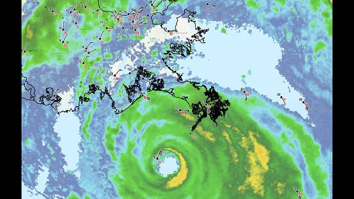
9:00 a.m. ET: As feared, Hurricane Ida has intensified rapidly overnight and is now a Category 4 hurricane with 150 mph sustained winds. It remains unknown whether or not New Orleans gets the eyewall of Ida -- the true worst case scenario.
In any case, a catastrophic major hurricane landfall is imminent for southeastern Louisiana. We will be going live at 9 a.m. ET/8 a.m. CT with the latest on this still strengthening storm.
9:40 a.m. ET: Live video on Ida’s latest intensity, track, and impacts:
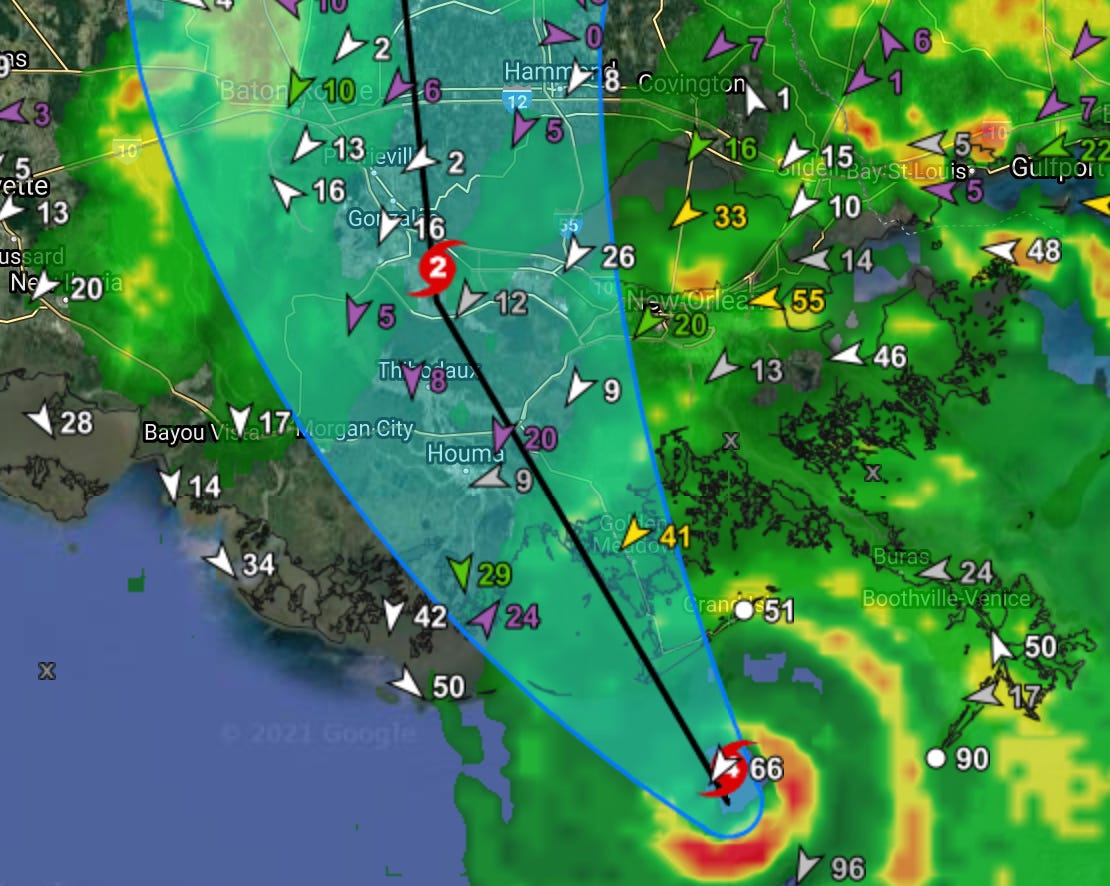
11:00 a.m. ET: The new 11am ET/10am ET advisory from the National Hurricane Center holds maximum sustained winds at 150 mph. New forecast track, shown below, continues to slot the path of the center between Baton Rouge and New Orleans.
Ida is slowing down somewhat, but is likely to make landfall in 2-4 hours near Port Fourchon, LA. The one bit of good news here is that it appears based on the most recent recon passes that intensification has leveled off, with pressure bottoming out around 930 mb. Hopefully that remains the case.
1:00 p.m. ET: Ida has made landfall at Category 4 strength near Port Fourchon— just the ninth Category 4 to pass near Louisiana since 1851. Landfall intensity equals Hurricane Laura last year at 150 mph, and Air Force recon is showing steady minimum pressure trends into landfall in the lower 930s. As 140 mph+ gusts rake coastal SE Louisiana, winds are also picking up in New Orleans, gusting to 67 mph last hour.
3:45 p.m. ET: Here’s the replay on our inland impacts nowcast. Upshot is that both Baton Rouge and the western half of New Orleans metro are likely to pick up 100 mph or higher gusts from the outer eyewall. Ida is hardly weakening and remains a Cat 4.
We will continue to post updates here through the day.
5:00 p.m. ET: The 4 p.m. CT/5 p.m. ET NHC advisory still has Ida as a Category 4 hurricane, with maximum sustained winds of 130 mph. Movement is still northwest, but has slowed in the last few hours to 10 mph. A turn to the NNW is likely over the next few hours, which will bring Ida’s outer eyewall and the associated 100+ mph gusts into the Baton Rouge and western half of the New Orleans metro area starting in a few hours (N.O. metro) and continuing through early Monday (Baton Rouge).
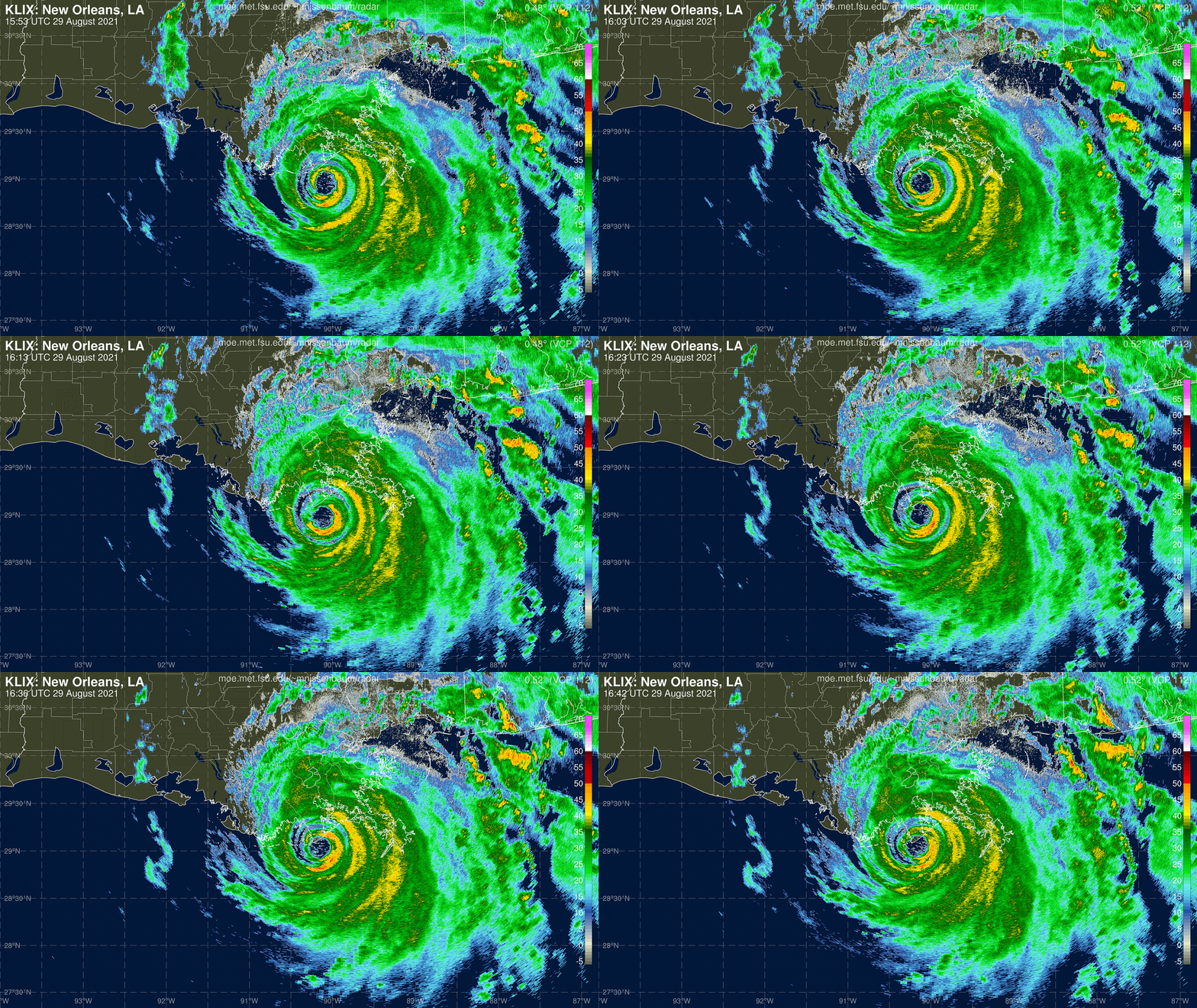
Hurricane Ida looks even better organized crossing the bayous of southeastern Louisiana than it did at landfall— a function of “land” that is barely above water under ideal conditions being inundated with 10’+ of surge. Rates of weakening into the late evening will continue to be slower than normal post-landfall.
All in southeast Louisiana should be sheltering-in-place through at least tomorrow morning.


