The season begins, sort of: WeatherTiger's Hurricane Watch for May 19th
Late May is not (yet) part of hurricane season, but brief development is possible near Bermuda this weekend.
Welcome to WeatherTiger’s Hurricane Watch! From June 1st through October 31st, I’ll be issuing a daily tropical briefing bringing you that day’s hurricane history, a quick run-down of active storms, and a look at current development threats. Paid subscribers will receive these briefings each weekday and be able to comment and ask questions, while free subscribers will receive a weekly forecast column. Sign up below to get WeatherTiger’s Hurricane Watch newsletters all season long.
Today, I’m marking the first-ever start of NHC Atlantic tropical outlooks in mid-May (but not the official start of hurricane season… yet) with a preview of our daily briefing. Enjoy!
Almanac: Today is Wednesday, May 19th… the 2021 hurricane season officially starts in 14 days and ends in 196 days. By total storm energy, the season is 0.2% complete as a whole, 0.3% complete for the continental U.S., and 0.4% complete for Florida. There are no historical U.S. landfalls on this date.
Climatologically, the most common area for development in the second half of May is east of Florida, with a subtropical or tropical storm developing once every 5 to 10 years since 1900. However, pre-season development has been much more common in recent decades. U.S. landfalls are rare in May, but the eastern Gulf Coast and Carolinas have seen a handful of historic May tropical storm hits.
Active Storms: None
Current disturbances:
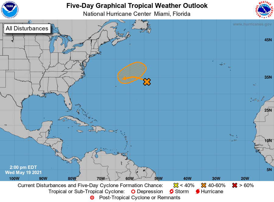
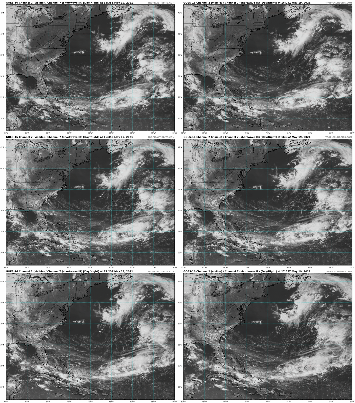
Non-tropical low near Bermuda (NHC 2-/5-day development odds: 10%/40%): The first splotch of color on the NHC’s six-hourly Tropical Weather Outlook maps for 2021 is associated with a broad non-tropical low northeast of Bermuda. As this system drifts southwest towards slightly warmer water over the next few days, there is a possibility it briefly becomes a subtropical depression or storm over the weekend before hustling northeast into open waters by Monday. Sea surface temperatures are milder than typical for development, but some colder-than-normal air aloft may help eke out a Subtropical Storm Ana.
If Ana develops, it would also be the farthest northeast May tropical or subtropical cyclone since 1900. This would also be the seventh consecutive year with tropical or subtropical development prior to the official start of the hurricane season on June 1.
Elsewhere: There are no other tropical disturbances to discuss today. With the exception of the Bermuda low, the Atlantic Basin is likely to be inactive for the next 10-14 days due to an unfavorable phase of the MJO. Conditions may turn more favorable in the Gulf, western Caribbean, or western Atlantic early in June.
Next report: Daily tropical briefings will begin on June 1st and be issued as-needed before then. WeatherTiger’s 2021 hurricane season outlook will be issued on June 4th.


