The Pipes Called: WeatherTiger's Hurricane Watch for June 29th
Danny has moved inland; the eastern Atlantic rounds into mid-season form.
WeatherTiger’s Hurricane Watch daily briefings are released each weekday afternoon during hurricane season. Click below to subscribe to receive these forecasts by e-mail:
Almanac: Today is Monday, June 29th… day 29 of the 2021 hurricane season, 155 days to go. By total storm energy, the season is 2.3% complete as a whole, 7.4% complete for the continental U.S., and 7.1% complete for Florida.
On this date in 1909, a Category 2 hurricane with 100 mph sustained winds made landfall near Brownsville, TX. This storm is in a multi-way tie for second-strongest June U.S. landfall since 1851.
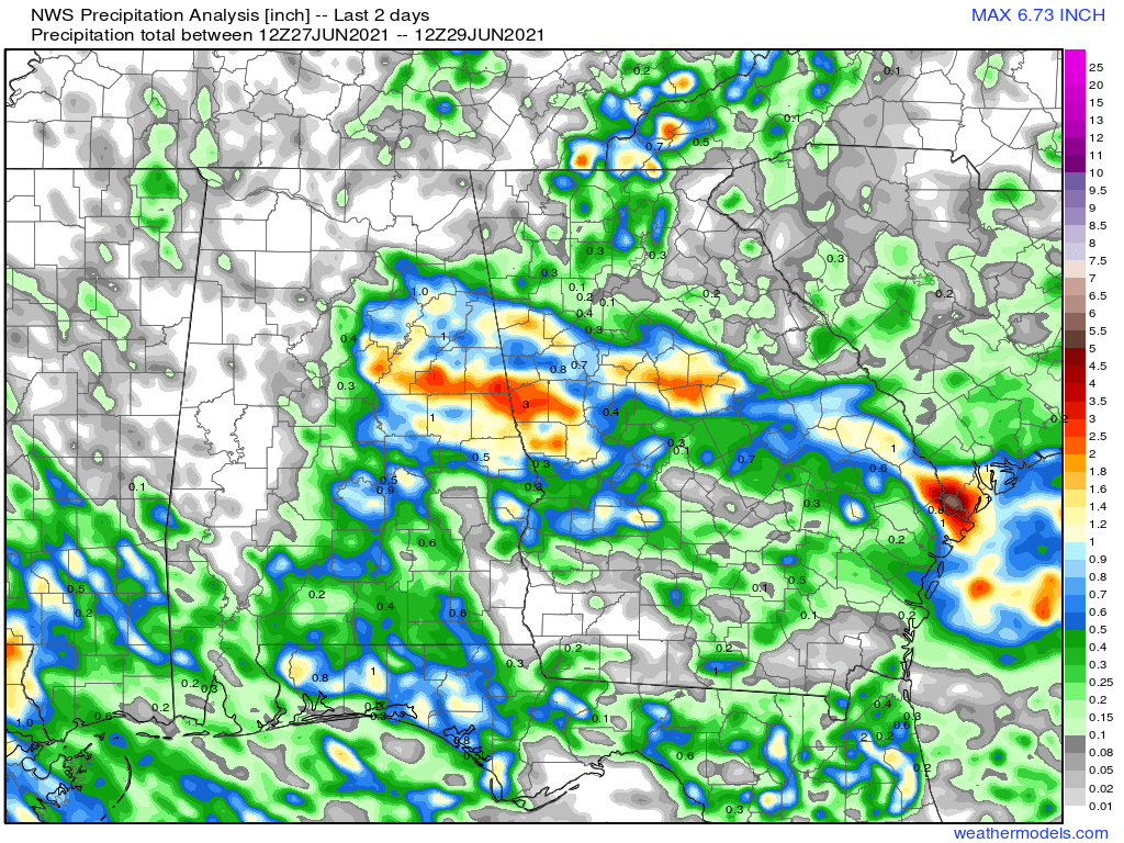
Active Storms: None. The pipes did indeed call yesterday, ushering Tropical Storm Danny into and quickly out of existence. Danny made landfall yesterday evening as a minimal tropical storm just north of Charleston, SC, with the primary impact of 1-3” of rain across middle Georgia. What remains of Danny today is a compact area of showers and storms plowing into Mississippi and Tennessee this afternoon.
Current disturbances in NHC outlook:
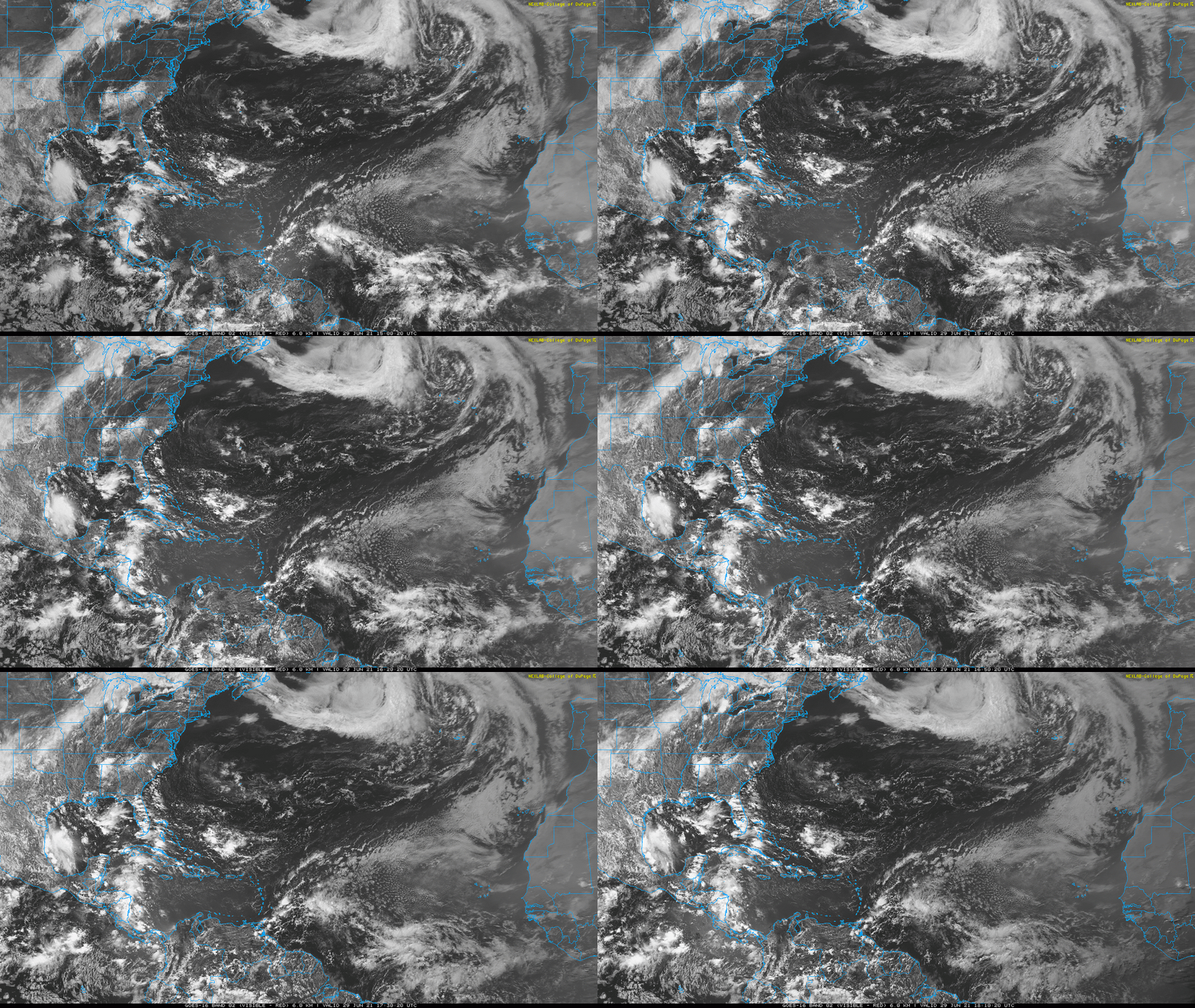
Invest 95L/Tropical Atlantic along 50W (2-/5-day odds: 20/30%). A tropical wave moving west towards the Lesser Antilles at around 10 mph continues to generate scattered convection within a broad area of low-level rotation. This area has not gotten any better organized since yesterday, and is starting to edge north into a region of higher shear and drier air. There is still an outside chance of development with 95L in the next couple of days, before it reaches even more unfavorable conditions in the eastern Caribbean.
Invest 97L/Tropical Atlantic along 35W (2-/5-day odds: 20/40%). Two areas to watch in June in the eastern Atlantic is two too many, climatologically, but here we are. The NHC is now separating out the second area of rotation along the monsoon trough near 8N, 35W as a distinct disturbance. Invest 97L is embedded in a richer pocket of tropical moisture and has a much better chance of organization that 95L.
This organization need not necessarily be slow. Deep convection is relatively abundant near the strongest rotation, and upper-level winds are supportive for further development over the next 2-4 days. Objective genesis guidance is much more bullish on a tropical depression developing from 97L than the NHC at this point, so don’t be surprised to see the NHC numbers rising over the next day and TD #5 organizing by Thursday as 97L nears the Lesser Antilles.
Beyond that time, 97L will be navigating the shear-heavy “hurricane graveyard” in the central and eastern Caribbean over the weekend, which should cap intensity at the least. Plenty of time to watch the long-term evolution; in the medium-term, the Greater Antilles should be aware of a potential tropical storm threat in 3-4 days (below), which will also likely increase rain chances in Puerto Rico and Hispaniola over the weekend. Stay tuned.
Elsewhere: Nothing of note.
Next report: The next daily update will be sent by 3 p.m. on Wednesday.


![[TPW Animated Gif] [TPW Animated Gif]](https://substackcdn.com/image/fetch/w_1456,c_limit,f_auto,q_auto:good,fl_lossy/https%3A%2F%2Fbucketeer-e05bbc84-baa3-437e-9518-adb32be77984.s3.amazonaws.com%2Fpublic%2Fimages%2F1105846c-cdff-42eb-a6e4-ec7aa95832ba_1000x470.gif)
