Mild Peril: The Hurricane Watch for October 30th
The Caribbean will need to be watched over the next week, but there is no sign as yet of any threat to Florida.
Florida tropical threat synopsis: A tropical disturbance in the Caribbean is worth keeping an eye on for a far outside chance of being a threat to Florida next week.
Almanac: It’s Monday, October 30th… day 150 of the 2023 hurricane season, 33 days to go. By total storm energy, the season is 93.8%, 98.3%, and 96.9% complete for the Atlantic, continental U.S., and Florida, respectively.
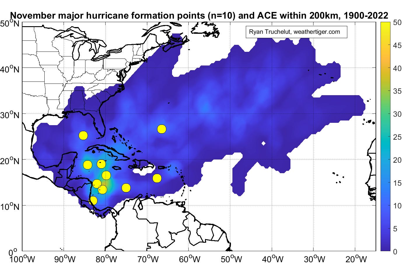
November is by far the least active month of hurricane season from a landfall perspective, accounting for just 1.3% of all historical ACE over the continental U.S. since 1900. (The next least-active month is June, on 7.2%.) While increasing wind shear tightens the windows for tropical threats, a major hurricane still develops in November a little less than 10% of the time, mostly in the western Caribbean.
Active storms: None. After a brief encore as a tropical storm over the weekend, ex-Tammy once again turned non-tropical in the eastern Atlantic.
Other disturbances in the NHC tropical weather outlook:
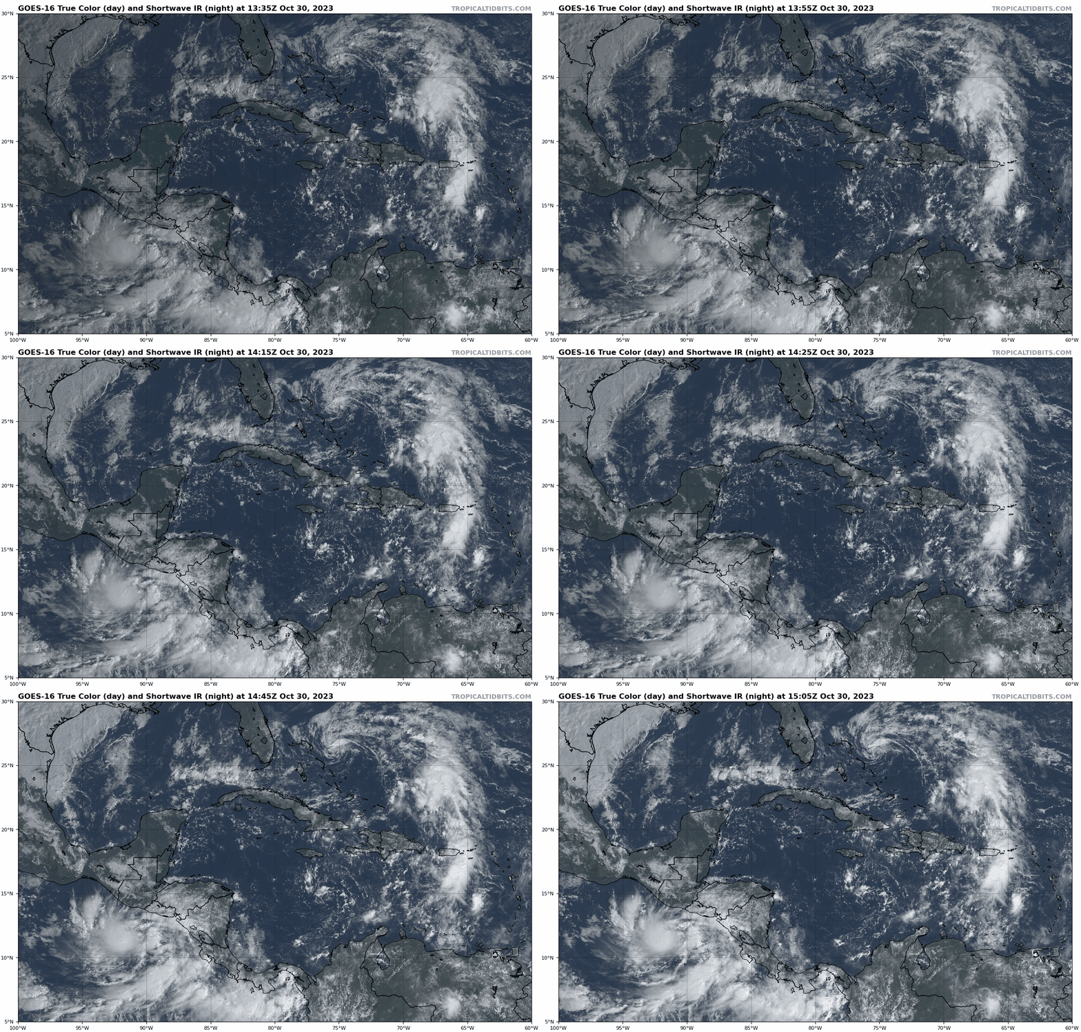
Invest 96L (northern Bahamas): A weak area of low pressure just north of the Bahamas is generating modest convection near a broad center as it drifts west-northwest. The NHC is giving this system a 20% chance of limited development in the next 24 hours before wind shear associated with an upper-level low and advancing frontal boundary increases dramatically and puts an end to any tropical potential. Invest 96L will be swept northeast away from the Southeast U.S. coast as this occurs, with no impacts on land. However, that front will bring a nice mid-week cooldown from near-record temps for Florida.
Central/western Caribbean: The main area to keep an eye on over the next 5-10 days is the central and western Caribbean, right in the pocket where major hurricane development occasionally happens in November. Disorganized showers are currently scattered across the eastern Caribbean with a surface trough of low pressure; this trough will shift west this week into a generally low-shear, moisture-rich environment. The NHC has a 10% chance of development through Wednesday and a 50% chance of development by next Monday.
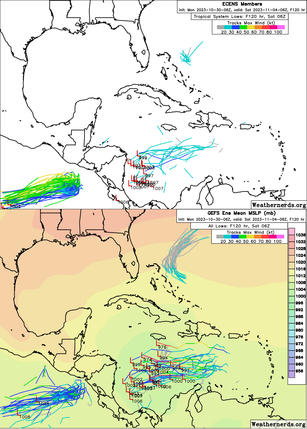
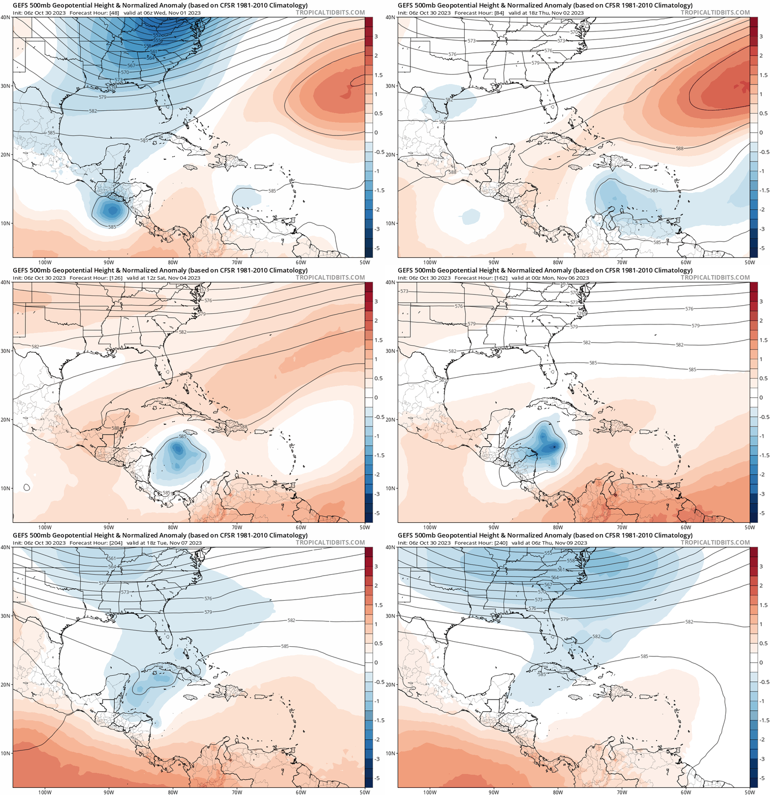
The low is broad and development should be slow. Only the GFS is enthusiastic about strengthening, with the last 3 runs showing a hurricane nearing Nicaragua over the weekend. Other models show little intensification, just disorganized storminess pushing over Central America and into the Eastern Pacific in around 7 days. While a track across Central America is the most probable outcome, the scenario we are watching for is one in which development occurs more rapidly, allowing the system to gain enough latitude to then be picked up and turned north by another front moving across the Southeast U.S. in 8-9 days. Even if this happens, a sharp turn northeast keeping a possible storm east of Florida would be most likely, but it’s worth watching just in case. Overall, models are trending south with where this feature might develop, so there is less support for any northeast hook today than one or two days ago on the GFS and Euro Ensembles.
Elsewhere: No other areas of interest in the Gulf, Caribbean, or Atlantic. Overall, while there are still tropical features to watch entering November, it all adds up to at most mild peril, my favorite PG-rated MPAA content warning.
Next report: Bulletins for paid subscribers will be issued on Wednesday and Friday this week.


