Clear as a Bell: Hurricane Watch for August 20th
The traditional start of the hurricane season's peak months remains quiet.
Florida and continental U.S. tropical threat synopsis: No tropical threats to Florida or the continental U.S. over the next week.
Mood music:
Almanac: It’s Tuesday, August 20th… day 81 of the 2024 hurricane season, 102 days to go. By total storm energy, the season is 15.5%, 29.8%, and 20.3% complete for the Atlantic, continental U.S., and Florida, respectively. August 20 is traditionally regarded as the start of the peak of hurricane season, which Dr. Bill Gray of Colorado State would mark by ringing a ceremonial bell. With 75 to 80% of historical U.S. hurricane landfall activity since 1900 occurring between August 20 and October 20, that bell tolls now for a good reason.
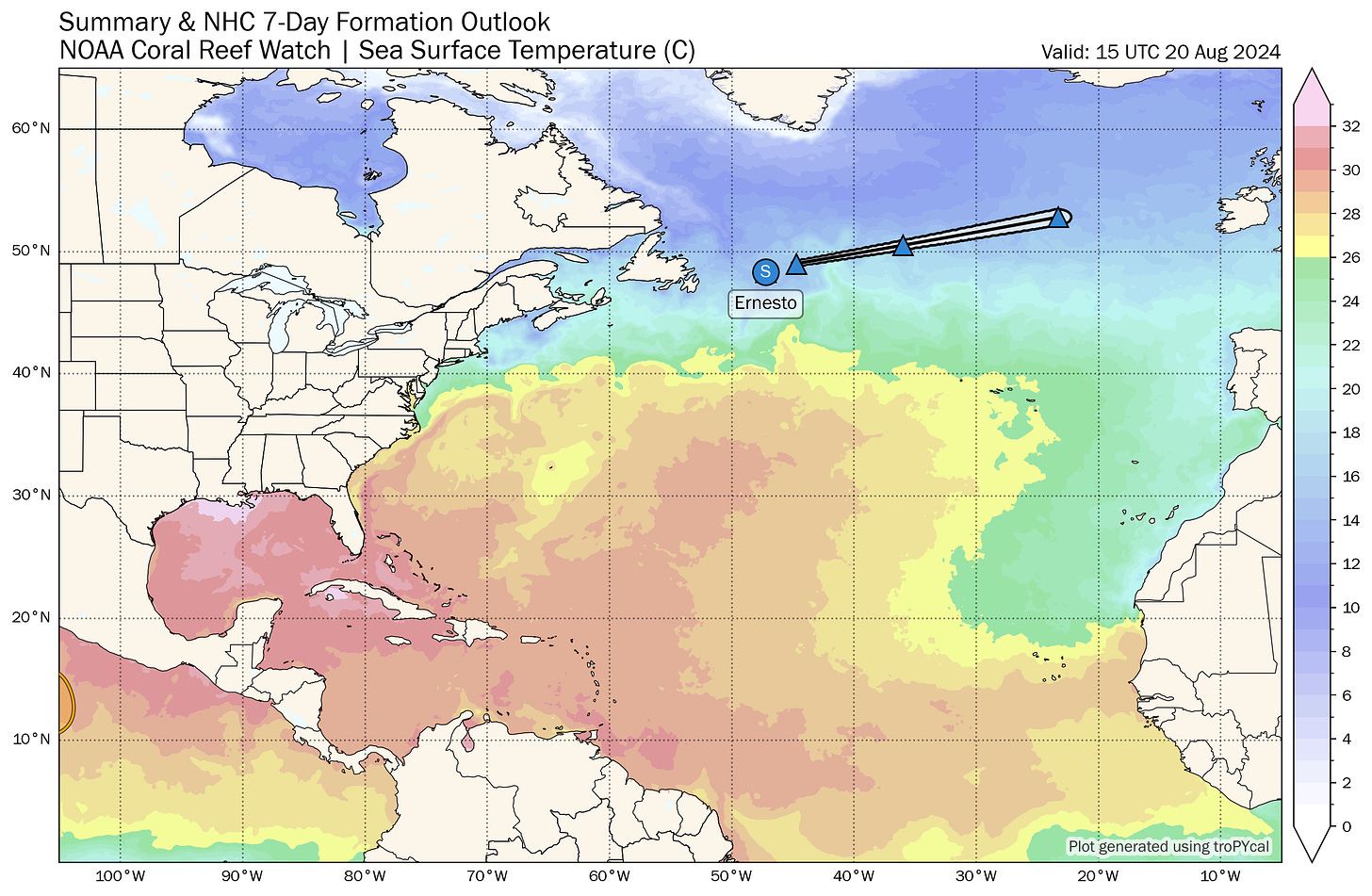
Active storms: Farewell to Post-Tropical Cyclone Ernesto, which as of the 11 a.m. NHC advisory has finally lost its residual tropical characteristics over the far northern Atlantic to the east of Newfoundland. The frontal remnant low will race east and bring wind and rain to Ireland and the northern British Isles on Thursday.
Disturbances in the NHC tropical weather outlook: Still nada.
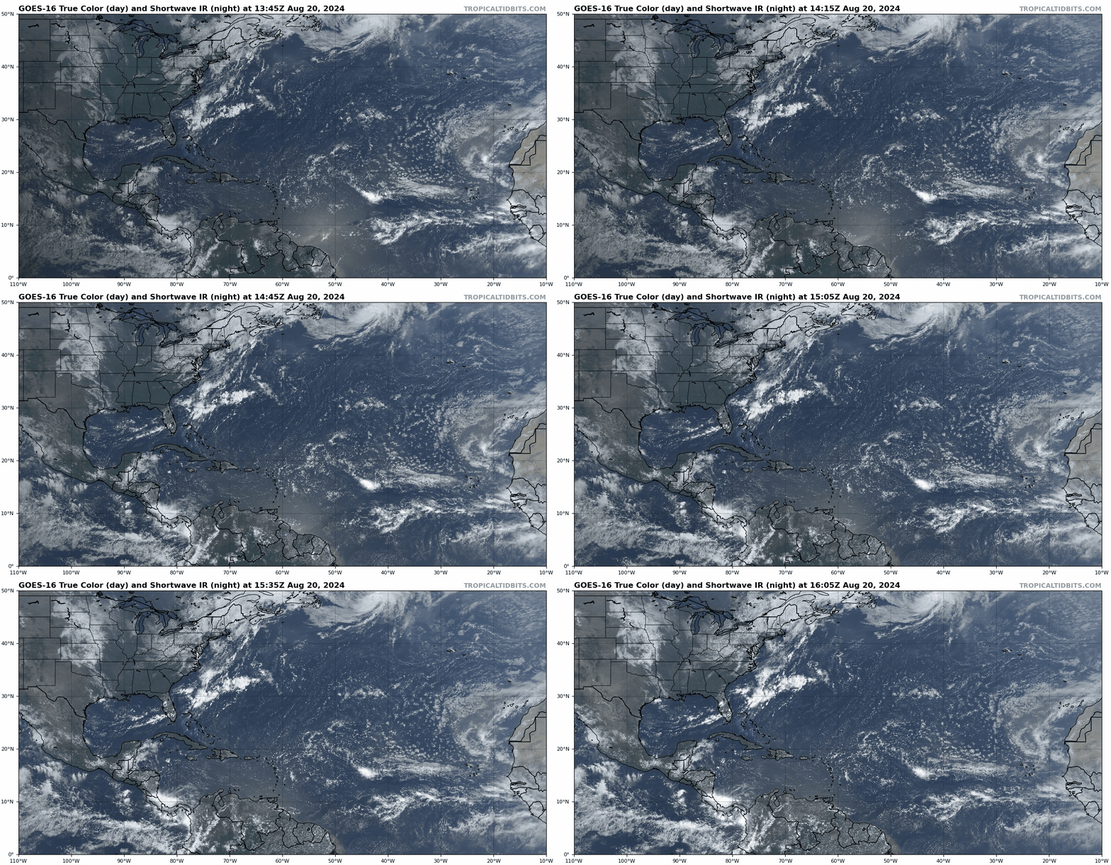
Elsewhere: The 2024 bell, rather surprisingly, reverberates across an empty Atlantic today, with nothing more than very slight chances of anything developing over the next week. Doubly unusual, there really isn’t even very much convection anywhere over the Basin. I mentioned yesterday that a stalled front draped over the eastern Gulf and north of the Bahamas might be worth a watch in the next week, and I suppose it is, given the lack of other activity and proximity to the U.S. coastline. But with quite a bit of dry air nearby and no support for development from any modeling, don’t look for anything from this but disorganized Gulf Coast showers later in the week.
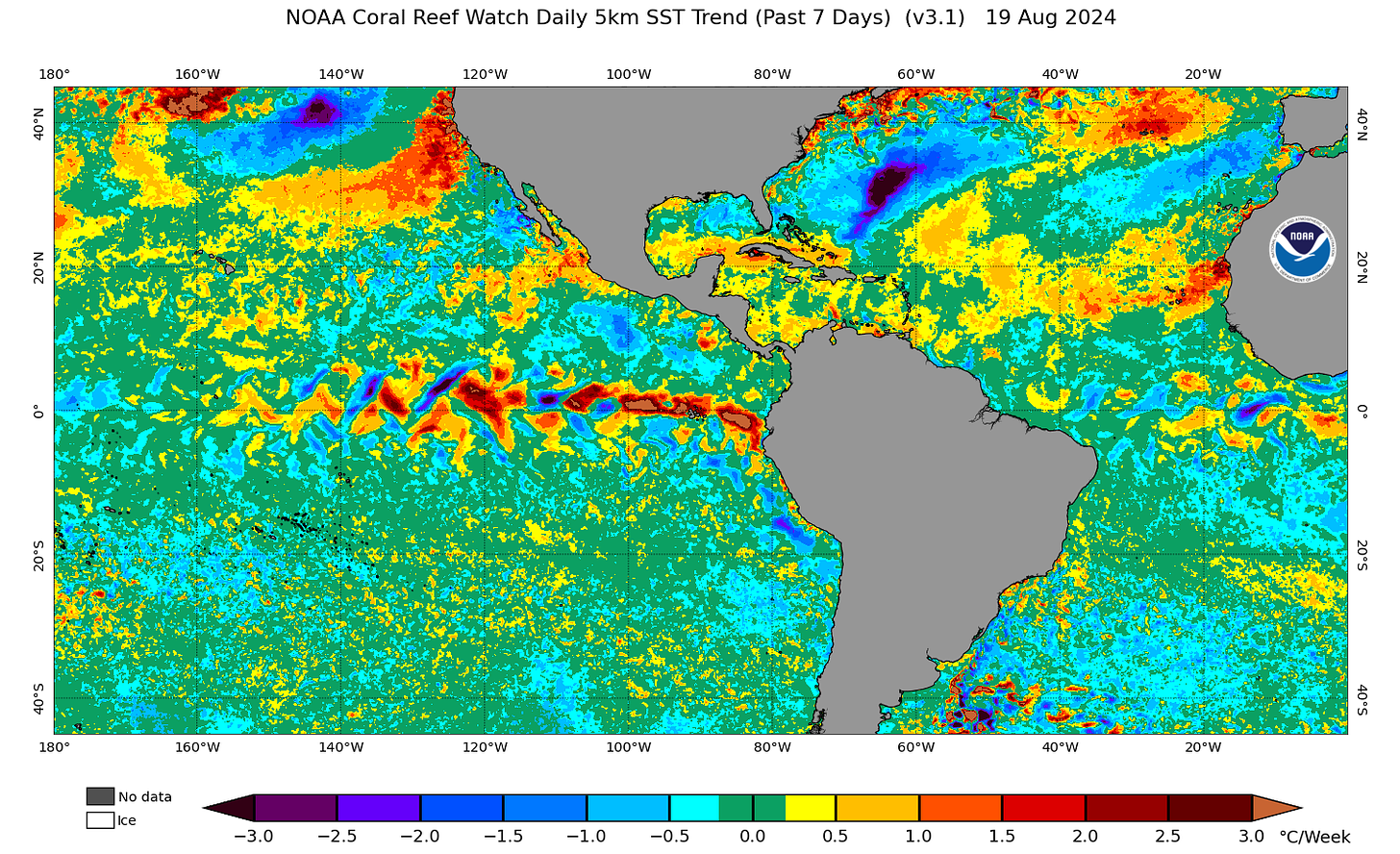
Otherwise, the Atlantic remains crimped by a list of issues ranging from the usual (Saharan dust) to the atypical (northward-displaced monsoon trough) to the just bizarre (upper-level shear from the east rather than the west). With the lack of convection allowing further warming of the Main Development Region from already historical highs in the past week (see below), I’d expect a notable switch flip when these conditions alleviate. There are a few more tentative signs of Atlantic tropical activity perking up at the tail end of August— the overnight Euro and 06z GFS both show a tropical system developing in the Main Development Region in 8-10 days— as the monsoon trough retracts south. Still, none of these signals are all that robust, or even particularly meaningful until they are closer to five days out. In the meantime, we can all appreciate that this year’s Tropical Bell is more mild than fire sauce.
Next update: Daily bulletin tomorrow morning.


